
Use Case: Finding your way around campus
What’s the issue?
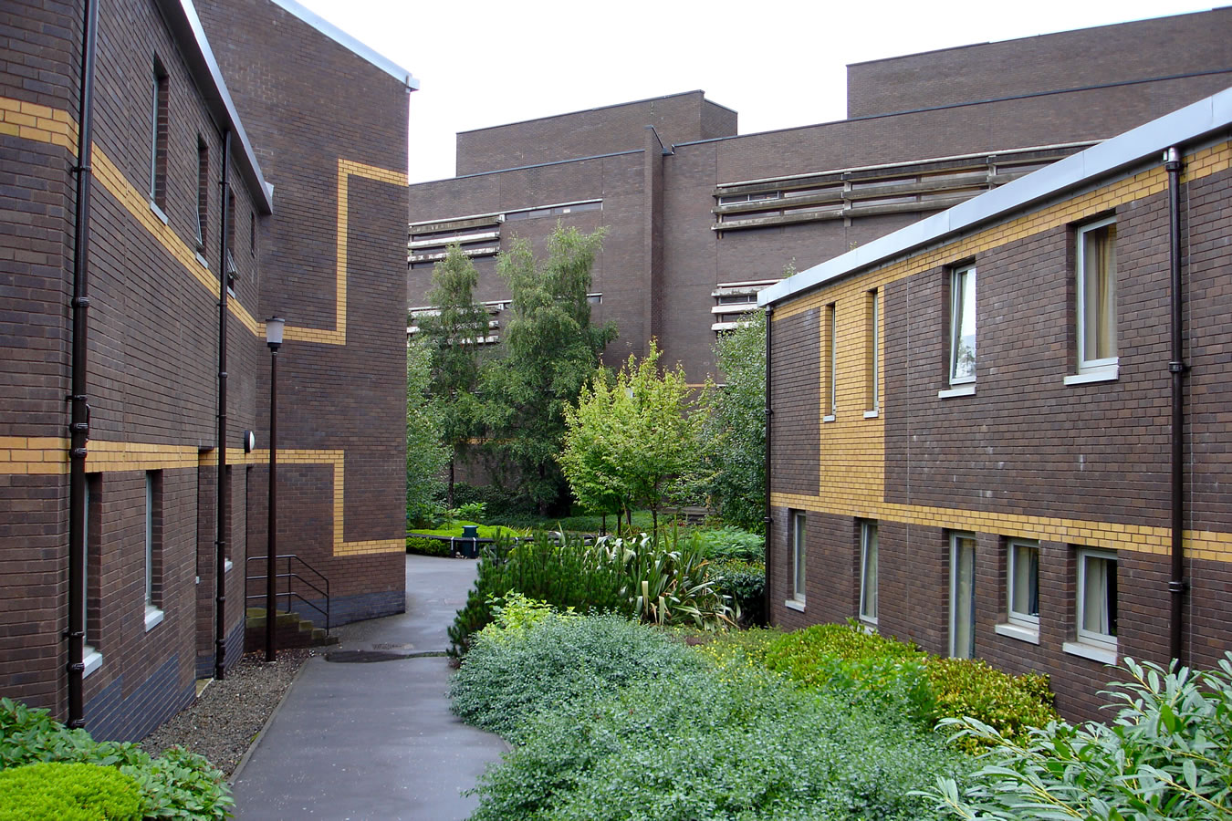
Universities can be complex physical spaces, with a myriad of different types of buildings, added in different decades and spread across a wide area, sometimes multiple campuses. Some buildings may be old with obscure access points and navigating adjoining buildings can be confusing. For come city universities sometimes the buildings are even close to or integrated with other shops and services or transport facilities, with the public crossing the campus en route to other destinations. In rural settings, campuses can be spread out with natural features interspersed and clusters of academic or residential buildings.
What specific challenges are there?
Once you are familiar with the campus it may become easier to find your way, but for visitors, prospective students and their parents on open days or graduation, or new staff, it can be confusing and time consuming to locate your destination and an effective route to it. There is a danger that such visitors leave frustrated and get a poor initial impression of the institution.
In addition, campus users with mobility difficulties or other special access needs can be particularly challenged by the campus layout.
Universities have invested considerable time and effort in providing good signage, but buildings change name, departments relocate and new facilities are added, impacting on multiple signs and making it difficult to avoid redundant signage and out of date labelling.
Also dynamic information about activities and events in a building can avoid the need for temporary (paper) notices on doors that look unprofessional and often remain after the event.
What could be done?
Digital maps and records of buildings and facilities could be combined with knowledge of the user’s location to provide information on routes, timings and facilities. Their mobile device could tell students (and staff) where the closest free work station, desk, or collaboration area is as they move around campus.

The navigation information could be tailored to the individual needs of the user, for example their mode of transport, special access requirements, or personal interests and preferences such as what type of food they like. Retail outlets could notify nearby campus users of their services or special daily offers, allow them to order items and collect on their way past. Information from their calendar and lecture timetable on their device could be combined with estimated timings to enable users to know whether they have time to stop or would be late for their lecture. In the event of missing a lecture, students could be notified of missed recordings and materials.
What wayfinding examples exist?
Google maps is familiar tool to many, identifying routes for different types of transport (including cycling and walking), estimating duration times and identifying bottlenecks and delay points. This information isn’t exact and typically not sufficiently detailed for on campus use.
Wayfinding solutions using smart devices have been used in other contexts such as car parking, where real-time information about parking spaces is used to control digital signage and a diagram showing the allocated parking space is shown to the user.
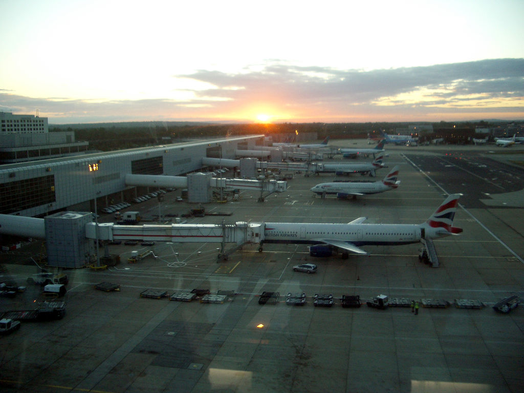
Airports are introducing wayfinding solutions to provide information on key aspects such as waiting times at queues. At Miami airport a contextually aware app tailors the user experience based on their location. This includes retrieving flight schedules, navigating to the airport (integrating with Google Maps and other services) and identifying shops and restaurants near to them within the airport.
As satellites are unreliable indoors, at Gatwick airport a beacon based positioning system enables an augmented reality wayfinding tool. This allows passengers to see directions on their mobile device, overlaid on the camera view, to navigate to check in areas, departure gates and baggage belts.
Are there any examples in universities?
University of Technology Sydney created a digital ecosystem of physical and digital signs. Updating names and locations in the digital directory is immediately reflected on screens and signage. Connective technologies are embedded inside each signage “totem” using NFCs and QR codes to allow mobile phones to interpret the information. Additional features include security and emergency devices, and directions provided via speech in multiple languages. In addition to improving navigation, it has led to reductions in cost and effort of maintenance .
What about ethical and other issues?
In many cases no personal data is collected to provide wayfinding services. The apps combine knowledge of the user’s position with generic digital map and route information transmitted. Generic information on ‘people densities’ can be used for example for queue measurement, streamlining flows of people and reducing congestion.
With additional consent, users could receive more personalised notifications for example if you are late for a lecture, estimate how far away you are and use this information to advise the lecturer whether to start without you or wait.
Who needs to be involved?
Existing campus services such as facilities management and IT would need to coordinate to maximise the benefits, but also those interested in supporting students with special needs, language, and the running of special events such as open days and graduation.
We did a pilot with an intern in summer 2017. We were looking at in-building navigation for key buildings like student services and the library. Our test showed this had many complexities as in one case, the best route was through an internal door that’s locked at 5pm, and then through a door clearly marked “no access for students”. Modelling such things and keeping them up to date would be a significant new task. Even on campus, we’ve always got at least one building project, often more, so routes are closed and altered. As a result we decided that we couldn’t do such a project “on the cheap” as it would represent a significant job to build the routing map, and a significant ongoing task to keep it up to date. What we have done is had an intern map all (most?) of our building entrances as these portals are the key navigation point not the centre of the building.